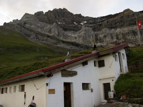
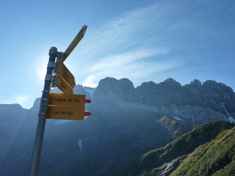
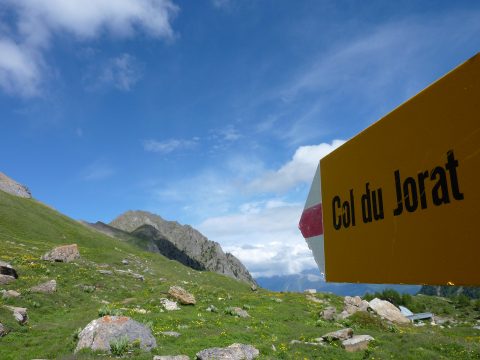
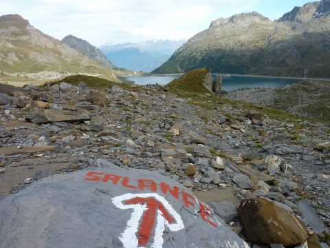
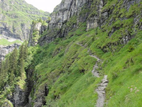
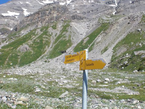
This 42.5 kilometre walking trail has an overall vertical variation of 6 000 metres in altitude (ascent/descent) This represents approximately 80 kilometres in terms of effort and 18 hours of actual hiking.
From the Anthemoz hut (2037m.), the altitude remains similar until Signal de Soi (2013m.). This passage below the rocks is magnificent, marked by the torrents flowing down from the Soi […]
From Chindonne mountain pasture (1604m.) or from Les Jeurs sports centre (1560m.), follow the trail through the sparse undergrowth as far as Chalet à Bagnes (1531m.), which offers a fantastic […]
Leave from Mex (1118 m.), a small village perched on the heights of St-Maurice, follow the forest trail to St. Bartholomew’s torrent, cross over the footbridge. (In the event of […]
From the Auberge de Salanfe (1950m.), take the alpine pasture track which skirts the lake. Just after the point where the stream enters the lake, take the track which leads […]
From the Susanfe hut/cabin (2102m.), follow the path which curves around the Susanfe coombe, blocked on the south end by Mount Ruan and its suspended glacier and the Tour Salliere […]
From the Bonavau refuge (1550m.), return approximately 400m in the direction you came to reach the circuit trail via a footbridge over the powerful Saufla torrent. The trail climbs up […]
Ascent of : meters
Descent of : meters
Distance : km
Hiking time : <-
See trail step info
Owner :
Phone Number :
Mobile Phone :
Email :
Website :
See accommodation info
Meet us on socials networks